Stretch I. Where the water comes from
Is there water under the place
Is there usable water under your land?
Chapter 5 of 34. Sources checked .
Possibly, but nobody can promise it from a map. Four aquifers are listed for Lamar County: the Blossom, Nacatoch, Woodbine and Trinity. Each differs in thickness and quality, and state planning figures for the county are small. Nearby well reports are the best evidence you can get without drilling, and they still only suggest what your tract holds.
5-1 Four aquifers, and what the state says about each
Chapter 2 dealt with buying water. If no line reaches you, or you would like your own supply, the question moves underground. The Texas Water Development Board describes the Blossom as "a minor aquifer located in Bowie, Red River, and Lamar counties," and lists the Nacatoch, Woodbine and Trinity for Lamar too.1 2 Which of them lies under a given tract, and at what depth, is not confirmed. Treat the table as a list of possibilities.
| Aquifer | Saturated thickness | Quality as described |
|---|---|---|
| Blossom | Fresh water averages 25 feet | "generally soft, slightly alkaline," in some areas "high in sodium, bicarbonate, iron, and fluoride" |
| Nacatoch | Fresh water averages about 50 feet | "typically alkaline, high in sodium bicarbonate, and soft" |
| Woodbine | Fresh water averages about 160 feet | Upper zone "tends to be very high in iron"; lower zones yield most |
| Trinity | Combined fresh water averages about 600 feet in North Texas | "fresh but very hard in the outcrop"; dissolved solids rise with depth |
Those descriptions shape what a well is good for. TWDB calls the Blossom's quality "not acceptable for irrigation," and says Clarksville and Red River County WSC "have historically pumped the greatest amounts."1 The Nacatoch "occurs in a narrow band across northeast Texas," and turns saline south of the Mexia-Talco Fault Zone, with dissolved solids of 1,000 to 3,000 mg/L.3 In the Woodbine the lower zones "typically yield the most water."4 TWDB describes Trinity water as "fresh but very hard in the outcrop,"15 and this book did not establish that for any well here. So well water here may be soft and high in sodium, or high in iron, or harder than that, depending on what the well reaches. Only a test settles it.
5-2 What the small numbers mean
The state's planning work for Lamar is sobering. Modeled available groundwater for the county, in areas with no district, is 49 acre-feet a year from the Woodbine, 8 from the Paluxy layer of the Trinity, and 0 from the Glen Rose layer.5 Those figures are for regional planning, and they describe a county rather than a tract. They do not tell you whether a household well would work at one spot. TWDB's 600 feet for the Trinity is an average across North Texas, and it sits beside those small Lamar figures. They are good reason not to assume an easy Trinity well here.
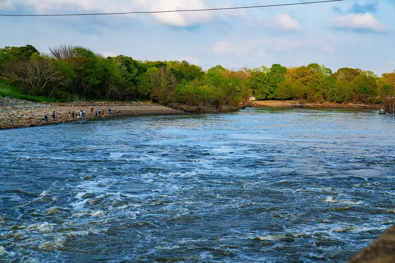
County planners count on a mixture. The 2021 regional plan figures show County-Other Lamar drawing on Pat Mayse, the Trinity and the Woodbine, and livestock on local supply, the Trinity and the Woodbine.6 So people do pump here. Figure 5-1 shows the other half of the local picture: several systems named in Chapter 2 draw on lakes.
5-3 Reading the neighbors' wells
The closest thing to evidence is what nearby drillers found. TWDB points to its Submitted Drillers Reports database for "Well reports 2003 to Present" and to the "TCEQ Water Well Report Viewer" for older ones, along with a Groundwater Data Viewer.7 The Texas Groundwater Protection Committee says the driller database holds "over 650,000 well reports and over 230,000 plugging reports."8
Pull the reports near you and read the depth, the water-bearing strata, and the plugging reports as well. A plugged well nearby may be a clue. Gaps are normal, since an owner may ask for a log to be held confidential and the department "shall protect the contents of the well log as confidential."9 Ask the neighbors how deep they went and how their water has held up (ordinary practice). A report can tell you the depth. A neighbor can tell you about a dry August.
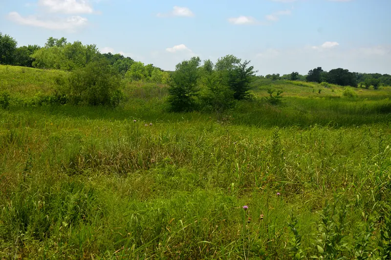
Figure 5-2 shows tall grass in a shallow swale. A green low spot invites a guess about water, and a guess is not a measurement.
5-4 Who owns it, and who regulates it
Water Code section 36.002 says "a landowner owns the groundwater below the surface of the landowner's land as real property." The same section says this does not entitle a landowner "to the right to capture a specific amount of groundwater."10 So you own it, without any promise that it stays. The Texas Groundwater Protection Committee describes the rule of capture as "commonly called the law of the biggest pump," allowing an owner "to pump as much groundwater that is available, regardless of the effects that pumping may have on neighboring water wells."11 Courts limit it: no pumping to maliciously harm a neighbor, no waste, no negligent subsidence of adjoining land, no slant well across the line.11
A groundwater conservation district can change the picture, and only Fannin of these nine counties is known to have one. It is the Red River GCD, which, despite its name, serves "Grayson and Fannin Counties" and not Red River County. New wells or well systems "with a capacity greater than 17.36 GPM require a permit before drilling and operation."12 Only its home page was checked, so ask the district about a household well.
Where a district exists, state law exempts a well used solely for domestic, livestock or poultry use if it is "located or to be located on a tract of land larger than 10 acres" and "incapable of producing more than 25,000 gallons of groundwater a day."10 Such a well may still have to register.16
For the other eight counties, TWDB's map, dated November 2019, shows no district. TWDB's 2018 report also labels Lamar, Red River and Delta "No District."5 13 TCEQ's June 12, 2026 contact list shows no other district named for any of these counties. That list does not say which counties a district covers, so it is only partial support.14 An election or a new bill could change this. Ask TCEQ if it matters to your plans.
Who decides this
- Which aquifer is under this tract?
- A licensed driller who has worked nearby, plus the well report databases; TWDB holds the regional picture
- Is there a groundwater district here?
- TCEQ or TWDB, and for Fannin the Red River GCD itself
- Does a household well need a permit?
- The district, where one exists
- What if a neighbor's pumping hurts your well?
- Your own attorney; the rule of capture gives few answers here
On your own place
- Search both well report databases around your tract and write down depths and water-bearing strata.
- Read any plugging reports nearby, not just the working wells.
- Look at the county listing in Appendix A to see where groundwater districts are known.
- Ask neighbors how deep their wells are and whether the water changed in dry years.
- If you buy, plan for a water test before you plan any treatment. Chapter 7 covers it.
Notes
- Texas Water Development Board, Blossom Aquifer. twdb.texas.gov (read November 4, 2026) ↩
- Texas Water Development Board, GMA 8 desired future conditions, county listings. twdb.texas.gov (read November 4, 2026) ↩
- Texas Water Development Board, Nacatoch Aquifer. twdb.texas.gov (read November 4, 2026) ↩
- Texas Water Development Board, Woodbine Aquifer. twdb.texas.gov (read November 4, 2026) ↩
- Texas Water Development Board, GAM Run 17-029 MAG, 2018. twdb.texas.gov (read November 4, 2026) ↩
- Texas Water Development Board, Lamar County summary, January 2024. twdb.texas.gov (read November 4, 2026) ↩
- Texas Water Development Board, groundwater data page. twdb.texas.gov (read November 4, 2026) ↩
- Texas Groundwater Protection Committee, Water Wells. tgpc.texas.gov (read November 4, 2026) ↩
- Texas Occupations Code section 1901.251(c). tcss.legis.texas.gov (read November 4, 2026) ↩
- Texas Water Code sections 36.002 and 36.117(b)(1). tcss.legis.texas.gov (read November 4, 2026) ↩
- Texas Groundwater Protection Committee, Water Ownership FAQ, revised September 18, 2024. tgpc.texas.gov (read November 4, 2026) ↩
- Red River Groundwater Conservation District, home page. redrivergcd.org (read November 4, 2026) ↩
- Texas Water Development Board, Groundwater Conservation Districts map, November 2019. twdb.texas.gov (read November 4, 2026) ↩
- TCEQ, Groundwater Conservation Districts Contact List, June 12, 2026. tceq.texas.gov (read November 4, 2026) ↩
- Texas Water Development Board, Trinity Aquifer. twdb.texas.gov (read November 4, 2026) ↩
- Texas A&M AgriLife, The Basics of Texas Water Law, AGEC-PU-135, January 2018. mytexas.ag.tamu.edu (read November 4, 2026) ↩